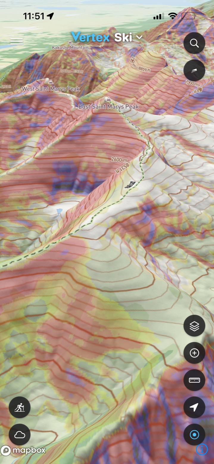
Maps with every layer you need
Airspace, skyways, thermal hotspots, landing angle and public lands on the map to plan your flight and retrieve.
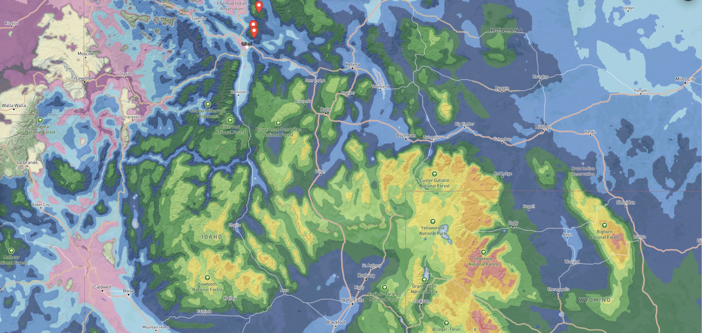
Slope angle, trails, public lands and airspace on the same map as high resolution hour-by-hour HRRR weather forecasts. For backcountry skiing, paragliding, trail running and backpacking.
Plan your flight, scope the conditions and review your tracklog when you land.
Airspace, skyways, thermal hotspots, landing angle and public lands on the map to plan your flight and retrieve.
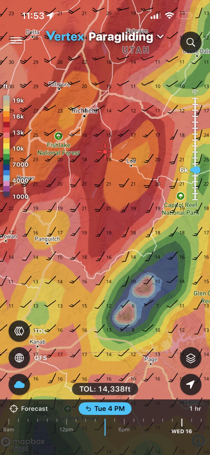
Wind, top of lift, thermals, cloud base, cumulus depth and more for HRRR, RRFS and GFS to help plan your flight.
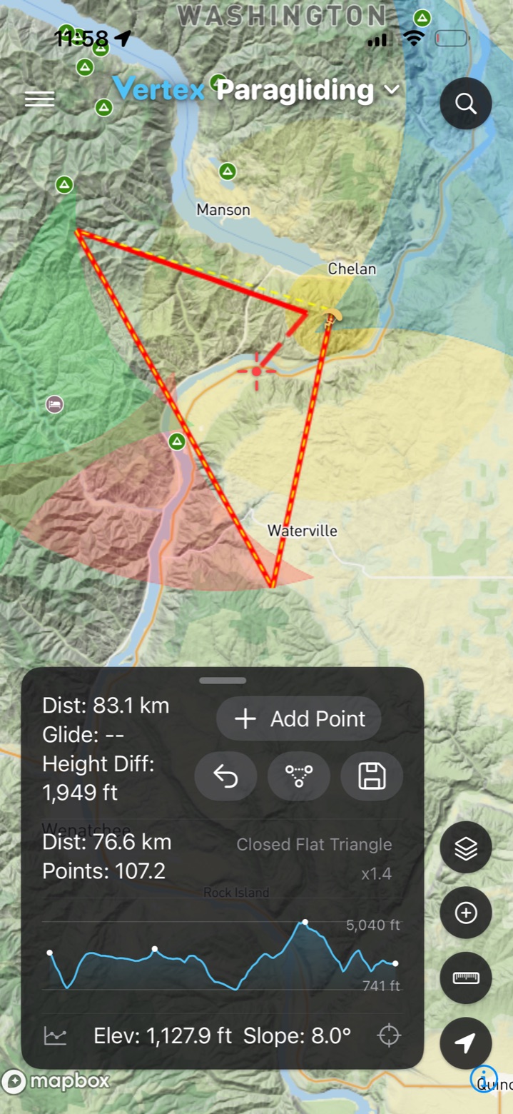
Plan FAI triangles to optimize the XC day or measure glide to landings to stay safe when pioneering a new site.
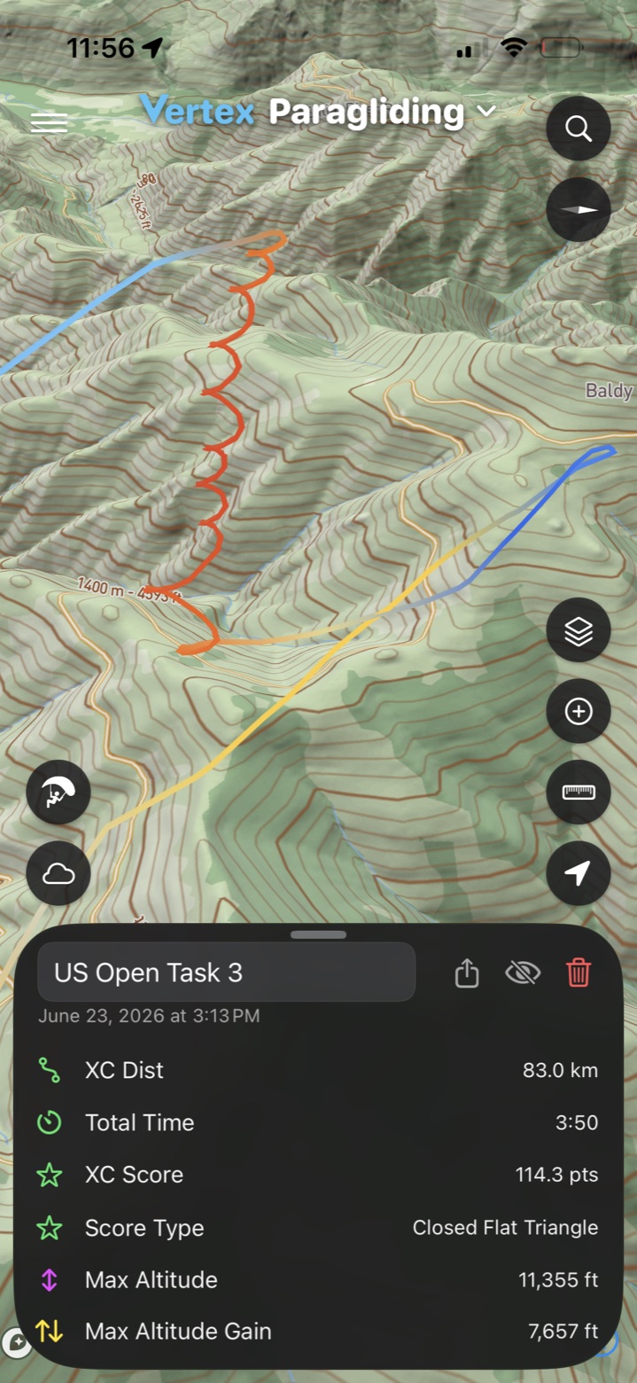
Review your flights and decisions in 3D and keep track of your hours.
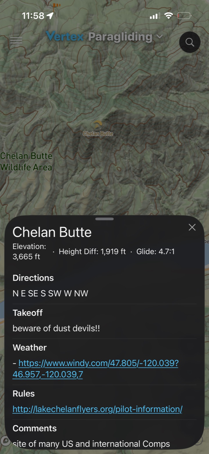
Launches and landing zones, with the forecast at each one just a tap away.
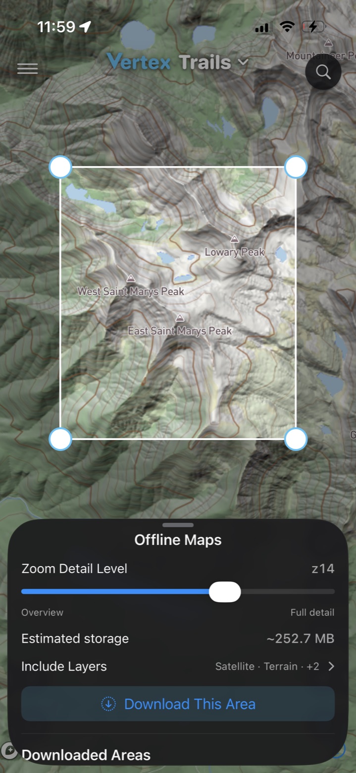
Download the map before you go, so you can still find the road out when you bomb out somewhere with no signal.
Plan your route, read the snow and avalanche conditions, and review the day when you're back home and planning your next tour.
Slope angle, trails, public lands, avalanche forecasts and more, stacked on topo, satellite or 3D terrain.
Snowfall, snow depth, wind and temperature by the hour from HRRR and GFS, with a point forecast for any spot on the map.
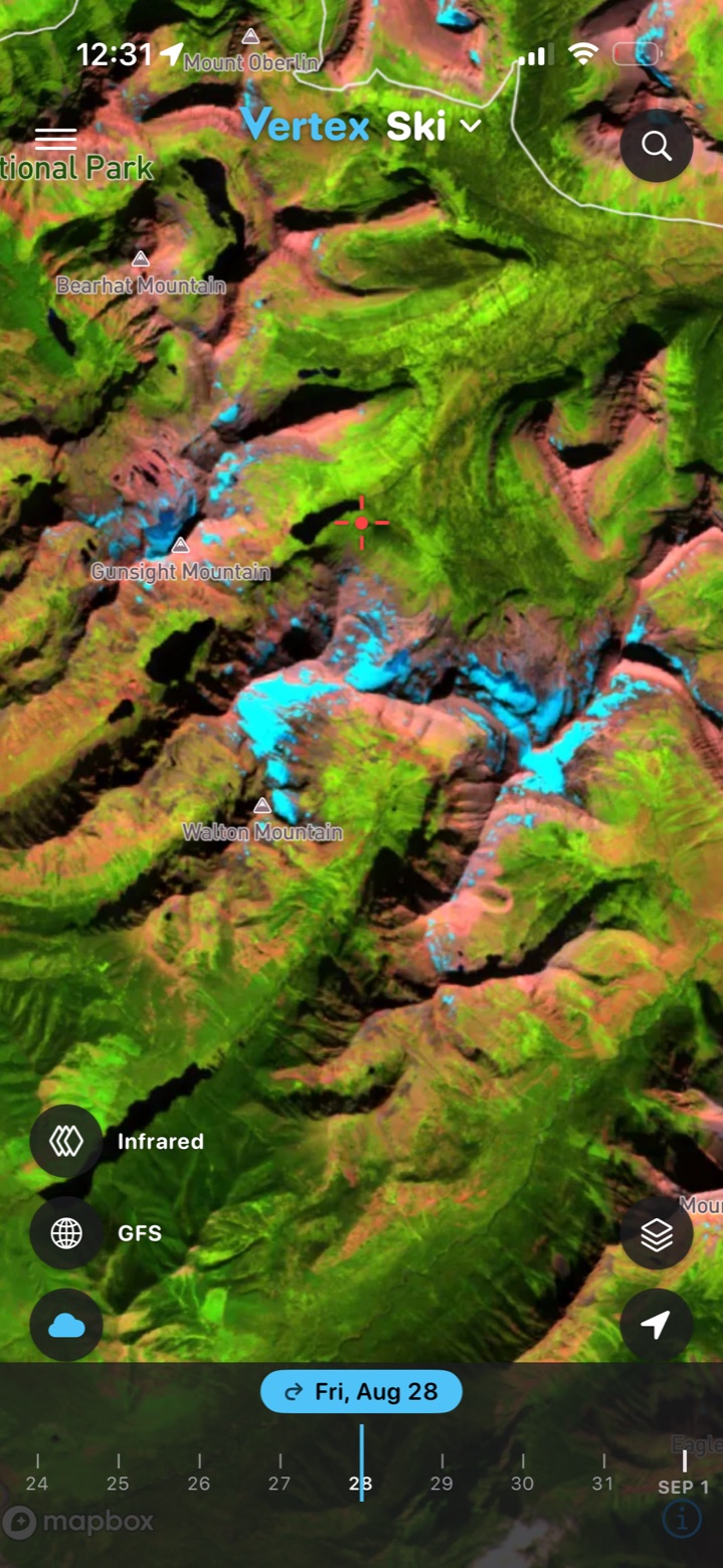
Fresh infrared scenes show where the snow actually is, so you know how far you'll walk before you click in for spring skiing.
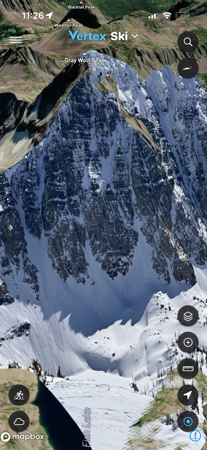
Drop a photo from the field onto the map as a basemap and see the terrain the way you're looking at it.
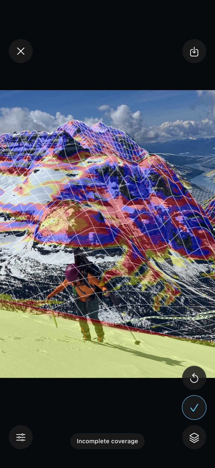
Point your phone at the slope and see slope angle, trails and peaks in AR.
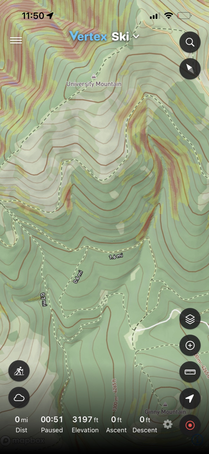
Record your tour, review your lines and use them for planning your next outing.
Plan your route, read the weather conditions, and keep the map with you on the trail when the signal drops.
Trails, trail slope, public lands, motor vehicle routes and more on topo or satellite with 3D terrain.
Temperature, wind, rain and snow by the hour, with a point forecast for anywhere along the route.
Download the map before you leave the trailhead. It works the same with no signal.
Point your phone at a slope and see trails and angles in augmented reality.
Drop a photo from the field or a previous trip onto the map and see the terrain the way you're looking at it.
Record the run or hike, then review distance, vert and pace on the map afterward.
The map, every layer and 3 hour forecasts cost nothing. Get Pro for detailed 1 hour forecasts, offline downloads and advanced tools to use in the field.
The map, the layers and 3 hour weather. No ads.
Everything in Free, plus the detailed forecast and the field tools. One subscription covers ski, paragliding and trail.